Plate 01 · Earth
How Rain Carves a Mountain
A single storm changes almost nothing. But the rain never stops. The island below will live through an age of it in a few minutes.
Scroll
A New Island
It has just risen from the sea: smooth slopes, a clean shoreline, not a river worth the name. The summit stands highest and the land falls away to the water on every side. Everything that follows is decided by that slope.
Simulated terrain · heights exaggerated
Water Knows Only Downhill
Rain does not stay where it lands. Each drop takes the steepest way down, and wherever it meets other water the two travel on together. Rills become streams, streams become rivers, and the flow keeps growing downstream.
Tap anywhere on a slope to see the path a raindrop falling there would take to the sea.
Points of light follow the flow the model computes
The Valleys Deepen
Running water carries soil, and the more water and the steeper the slope, the more it carries. So the ground is worn hardest where the water gathers — and the water keeps coming back to the same places. Each pass makes the next one easier.
The ridges are barely touched while the valleys cut down. The rust-brown ground is bare earth, stripped of its topsoil.
Where the Soil Goes
The soil washed off the slopes does not vanish. When the water slows — on flat ground, in a lake, at the sea — it can no longer hold its load, and the sediment settles.
At the river mouths it piles up, layer on layer, until it breaks the surface. Where there was sea, there is new land.
A Forest Is a Net
Where trees grow, erosion is far gentler. Roots knit the soil together; leaves and litter catch the rain and let more of it sink into the ground instead of racing across it.
Look at the low woodland: the slopes around it are scored with gullies, but the forest floor is largely intact.
Before and After
Drag the divider to set the island’s past beside its present. The outline survives. The details do not.
Taranaki: The Beginning
Taranaki Maunga, on New Zealand’s North Island, is a dormant volcano 2,518 meters high and famous for its near-perfect symmetry. It is the youngest of the cones in its range. Rain has scored a ring of gullies into its flanks, but has yet to change its silhouette.
The streams shown here are computed directly from real elevation data.
New Zealand · 39.3°S 174.1°E · 34 km square · heights × 2.5
Kauai: Much Later
Kauai is the oldest of the large Hawaiian islands, with lava flows dated to about five million years ago. It began as a volcano too; its slopes have long since been cut into deep valleys.
Waimea Canyon, in the west, is roughly 1,100 meters deep and 16 kilometers long. About four million years ago part of the island collapsed; since then, rain draining from Mount Waialeale has carved the canyon along the edge of that collapse. The mountain is one of the wettest places on Earth, with about 11 meters of rain a year.
Hawaii, U.S. · 22.1°N 159.5°W · 60 km square · heights × 3
Grand Canyon: One River, Five or Six Million Years
The Grand Canyon was not torn open by a flood. According to the National Park Service, the Colorado River has been cutting through this rock for five to six million years; on its 446-kilometer course through the canyon it drops about 610 meters.
The rock in the walls is far older than the canyon. The oldest layers formed nearly two billion years ago, and even the youngest, at the rim, is 270 million years old. The river has simply been reading them back, one layer at a time.
Arizona, U.S. · 36.1°N 112.1°W · 36 km square · heights × 2
Your Turn
Change the rain and the soil, keep the forest or clear it, or start again on a new island.
Try thisClear the forest and let it rain: how much more soil gets moved?
What the model leaves out
To make change visible in minutes, time is drastically compressed, and the pace is not calibrated to real years. The model computes erosion and deposition by running water and the slow creep of soil; wind, glaciers, earthquakes and differences in rock are left out. What a forest does is reduced to two effects: soil is harder to carry off, and half as much rain runs off the surface.
A common misreading
Valleys are not cut by a single great storm. Landscapes are shaped mostly by countless ordinary rains over very long spans of time. Nor does the eroded soil disappear; it is moved, and builds plains, fans and deltas somewhere else.
Sources
- National Park Service: Grand Canyon geology
- NASA Earth Observatory: Waimea Canyon, Kauai (2003)
- New Zealand Department of Conservation: Te Papa-Kura-o-Taranaki, nature and history
- Terrain Tiles on AWS Open Data
Data
Elevation: Terrain Tiles on AWS Open Data (Mapzen / Tilezen). United States 3DEP (formerly NED) and global GMTED2010 and SRTM terrain data courtesy of the U.S. Geological Survey. Global ETOPO1 terrain data U.S. National Oceanic and Atmospheric Administration. New Zealand terrain data Copyright 2011 Crown copyright (c) Land Information New Zealand and the New Zealand Government. All rights reserved.
Follow the question
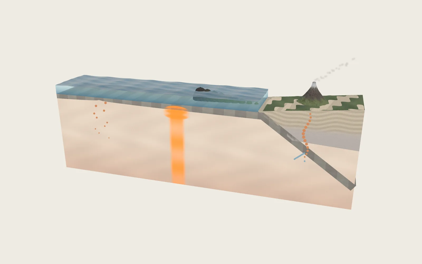 Plate 19Where Volcanoes Come FromThere is no sea of magma under the crust. Magma forms in only a few kinds of places, and that is where volcanoes grow.
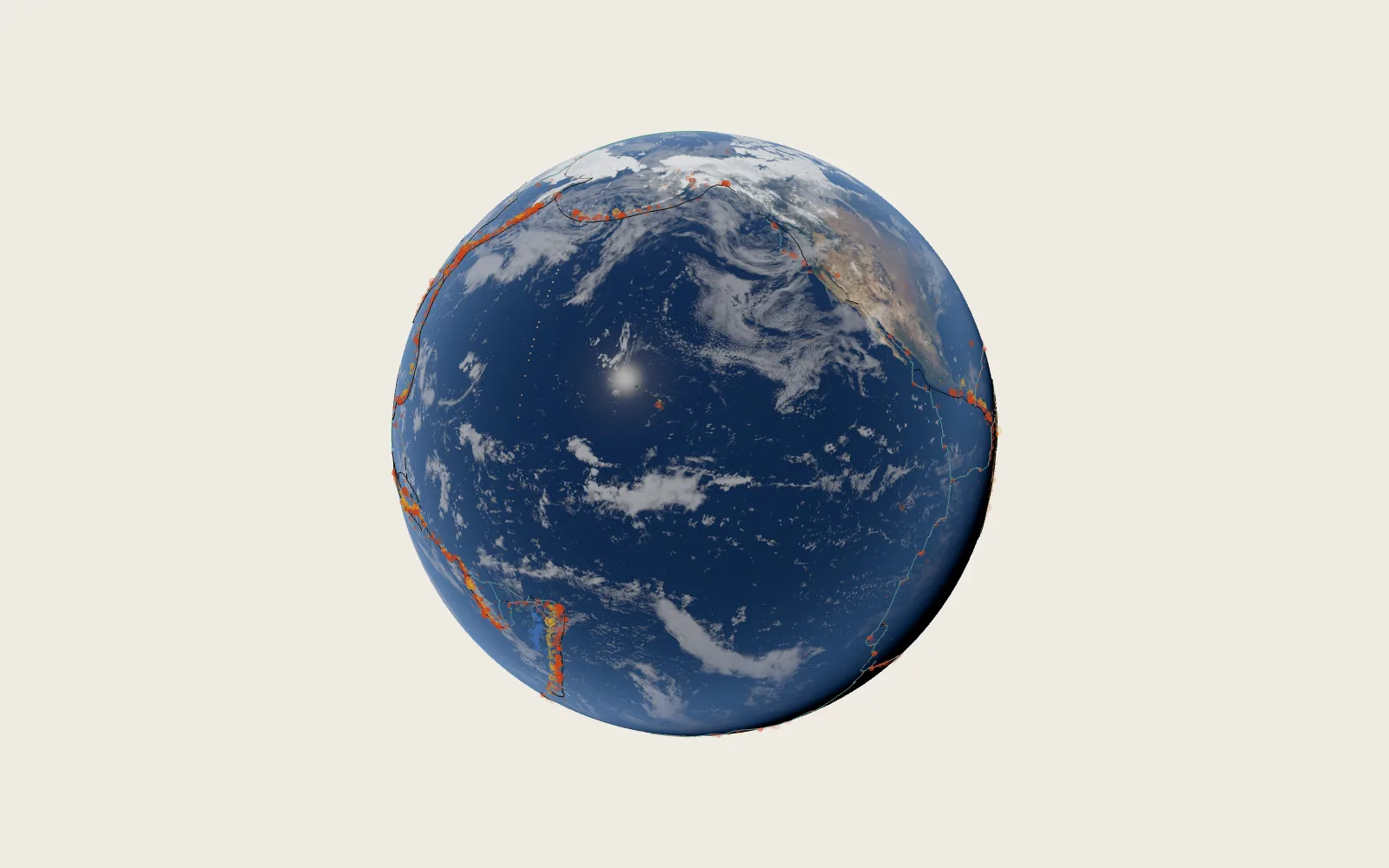 Plate 14The Cracks in the EarthA year’s 7,700 strong earthquakes fall mostly along a few lines: the edges of the pieces of the Earth’s shell.