Plate 14 · Earth
The Cracks in the Earth
Put a year of earthquakes on the globe and they do not scatter at random. They line up along a few thin seams — the cracks in the Earth’s hard outer shell.
Scroll
A Year of Earthquakes
From October 2025 to October 2026, the U.S. Geological Survey recorded more than 7,700 earthquakes of magnitude 4.5 or more — over twenty a day. Each dot is one; the bigger the dot, the stronger the quake.
Watch where they land. Not everywhere, but along long lines, and in a great loop around the Pacific.
Earthquakes: U.S. Geological Survey · magnitude 4.5+ · October 2025 to October 2026
A Shell in Pieces
The Earth’s outermost rock is cooler and rigid, and like a cracked eggshell it is broken into a dozen or so large plates and many small ones. They carry the continents and the seafloor, moving slowly over hotter, softer rock below.
Where plates push and pull at each other, strain builds up along their edges until it gives way: an earthquake. This year, more than four in five earthquakes struck within 200 kilometers of a plate boundary.
Three Ways to Meet
Plates meet in three ways. In the middle of the Atlantic, two plates pull apart, and hot rock rising from below partly melts and cools into new seafloor. In California, two plates slide past each other. Off Japan and western South America, two plates collide, and one dives beneath the other.
Where plates collide, earthquakes are the most common and the strongest.
As Slow as Fingernails
Plates move very slowly. Most boundaries open, close or slide by just a few centimeters a year — about as fast as your fingernails grow.
The fastest is near the Tonga Trench in the South Pacific, where two plates close in on each other by more than 20 centimeters a year. Even there, in a human lifetime they move only nearly 20 meters — about two buses end to end.
The Sinking Plate
Most earthquakes strike within a few tens of kilometers of the surface. But where a plate dives under another, they can happen as deep as 700 kilometers.
Below are this year’s earthquakes near Tonga, plotted east to west against depth. The farther west, the deeper they go, along a slanting line: the earthquakes trace the Pacific plate itself as it sinks into the mantle.
Earthquakes near Tonga · 15° to 26° south
One Step Up
Each step up the magnitude scale releases about 32 times as much energy. Two steps up is 1,000 times. On a seismograph, each step means waves about ten times taller.
Big earthquakes are much rarer, too. This year there were more than 1,800 between magnitude 5 and 6, about 120 between 6 and 7, and only 15 of 7 or more.
This Week
The earthquakes flashing on this globe are the U.S. Geological Survey’s live list of magnitude 4.5+ quakes from the past seven days. Somewhere on Earth, one strikes about once an hour.
Live earthquakes: U.S. Geological Survey · past seven days
Your Turn
Drag through the year and watch the earthquakes appear one by one. Raise the magnitude cutoff to keep only the strongest. Turn off the plate boundaries and see if you can still find them in the earthquakes.
Try thisRaise the smallest magnitude from 4.5 to 7: how many earthquakes are left?
What the model leaves out
Only earthquakes of magnitude 4.5 and above are shown; smaller ones are far more numerous, and they too crowd along plate boundaries. The boundaries and plate speeds come from Bird’s 2003 model, which divides the Earth into 52 plates; other studies draw them a little differently. Dots are sized to be seen, not to show how much ground actually broke.
A common misreading
Plates do not float on a sea of molten lava. The rock beneath them is almost entirely solid — just hot and soft enough to creep, over millions of years, like very thick syrup. And earthquakes are not confined to plate boundaries: they also happen inside plates, only much less often.
Sources
- USGS: Earthquake science
- USGS: Tectonic plates of the Earth
- USGS: Magnitude, energy release and shaking intensity
- USGS ComCat earthquake catalog
- Bird (2003): An updated digital model of plate boundaries
- Bevis et al. (1995): Geodetic observations of very rapid convergence and back-arc extension at the Tonga arc
Data
Earthquakes: U.S. Geological Survey, ComCat and real-time feeds. Plate boundaries and speeds: P. Bird (2003), PB2002; GeoJSON by H. Ahlenius (Open Data Commons Attribution License). Elevation and seafloor (globe colors): Terrain Tiles on AWS Open Data; ETOPO1, NOAA; GMTED2010 and SRTM, USGS.
Follow the question
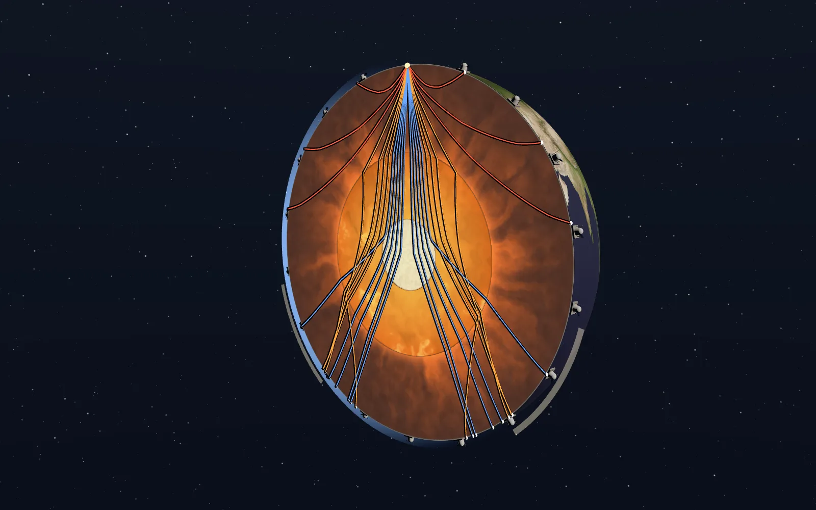 Plate 25Seeing Through the Earth With EarthquakesNo one has been to the centre of the Earth. We know it holds a liquid outer core and a solid inner core because earthquake waves went for us.
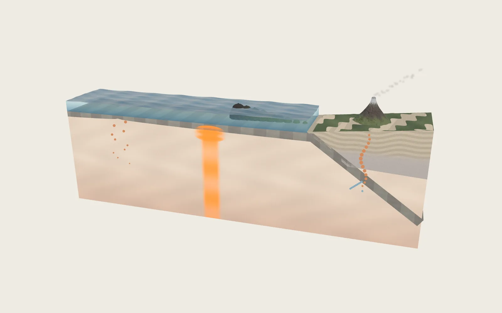 Plate 19Where Volcanoes Come FromThere is no sea of magma under the crust. Magma forms in only a few kinds of places, and that is where volcanoes grow.